
Description
Chrismar#: OM9474, EAN: 978-1894993524, Paper.
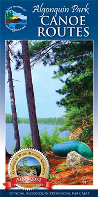
A large, but small-scale (features appear smaller) paper map of the entirety of Algonquin Park that is perfect for planning your trip. It shows basic water detail, all access points, campsites, portages, long-distance backpacking trails and other points of interest. We wouldn’t recommend this map for on-the-water navigation, but it is a very good general reference map for the Park.
For larger-scale (features appear larger), much more detailed maps that are more suited to on-the-water navigation, as well as planning, you should get the major Algonquin series – Algonquin 1 – Corridor North, Algonquin 2 – Northwest, Algonquin 3 – Corridor South, and Algonquin 4 – North Central, and/or the smaller-size, but even larger-scale close-up map guides to popular sections of Algonquin Park – Canoe Lake & Area, Opeongo Lake & Area, Oxtongue River/Ragged Falls, Barron-Achray Area and Bonnechere River.