The Complete Paddler
Chrismar Maps: Akshayuk Pass
Chrismar Maps: Akshayuk Pass
Couldn't load pickup availability
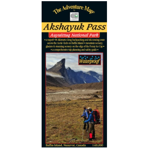
One of the world's greatest long distance backpacking trips takes place through a glacier-edged valley on Baffin Island. The Akshayuk Pass, formerly known as Pangnirtung Pass, is an extraordinary 100-km trek through a land recently vacated by glaciers - though they line the edges of the valley and send fingers of ice creeping into the edges of it. Mountains over 2000 metres high line a route through the finest scenery in North America.
This topographic map covers the Pass from end to end as well as points of interest, emergency facilities, glaciers with amount of recession, glacial streams, moraines, suggested route and extraordinary vegetation and landscape detail, PLUS text and photos about the area including natural & human history, park facilities, route suggestions, getting to the area, permits and procedures, recommended equipment, weather, safety concerns, contact info, and more. It also includes a smaller map of the entire park as well as detailed maps of the two towns (Pangnirtung and Qikiqtarjuaq) closely associated with the route - even though they are many kilometres away you will go through at least one of them on your plane/boat journey. Even a mini-Inuktitut lesson. It's the ideal guide! And made by people who have actually been there (as is the case for all Adventure Maps®) - they've explored the entire Pass during their field survey visit.


