The Complete Paddler
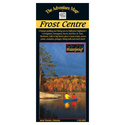
Chrismar Maps: Frost Centre Area - Haliburton Highlands
Chrismar Maps: Frost Centre Area - Haliburton Highlands
Couldn't load pickup availability
Map #: AM0230, ISBN: 0-929140-23-0, Scale: 1:50,000. Waterproof.
This popular map showcases over 500 km2 of wilderness in the Haliburton Highlands region of Ontario, including the popular 200 km2 tract of crown land known as the Leslie Frost Centre lands.
A great destination for paddlers and backpackers alike, this map covers stretches from Livingstone and Fletcher lakes in the north, to Halls Lake in the south and from Lake of Bays to the west to Kennisis and Kimball lakes in the east.
This completely original map features extraordinary topographic and water details, as well as access points, hiking trails, campsites, portages, facilities and other attractions. The back side is covered with colour photos and lots of information about natural & human history, suggested routes, safety tips, contact information and much more.