The Complete Paddler
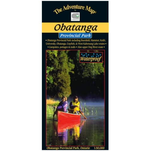
Chrismar Maps: Obatanga Provincial Park
Chrismar Maps: Obatanga Provincial Park
Couldn't load pickup availability
Obatanga is a charming medium-sized park straddling the Trans-Canada Hwy 17 north of Wawa. Our map covers the entire park plus an equal area outside it (about 310 km2 in total) including the top end of the semi-famous Dog River. Major lakes include University, Hammer, Obatanga, Burnfield, Knife, Heart, Crayfish, West Kabenung lakes plus the Knife and Dog Rivers.
Still relatively unknown, and therefore quieter than other Parks, it used to be an "operating" park with staff, maintenance, a great lakeside serviced campground in a red pine forest, plus an extensive wilderness area of superb paddling and hiking terrain. But a few years ago now it was changed to "non-operating" status, which means while it is still a Provincial Park, and still accessible, there is no longer any staff or maintenance.
Which definitely doesn't mean it should be avoided.
In fact, it's now even quieter and more remote than before, so experienced paddlers can take off into the extensive backcountry which includes the headwaters of the semi-famous Dog River. Novice or family paddlers can try out the now rough campsites on small quiet lakes a short paddle from the former campground which itself can still be used, if only roughly too. If hiking or backpacking is your game then the 2.4km loop Forest Fire Trail adjacent to the campground is growing in, while, across the highway, the more rugged Knife Lake Trail thrusts into the heart of Obatanga's backcountry along the route of a former gravel road.
Whether you're heading west across northern Ontario and want a place to spend the night, or are looking for a less busy, unmanaged wilderness destination to spend a week or two, Obatanga is the place.