The Complete Paddler
Chrismar Maps: Sleeping Giant Provincial Park
Chrismar Maps: Sleeping Giant Provincial Park
Couldn't load pickup availability
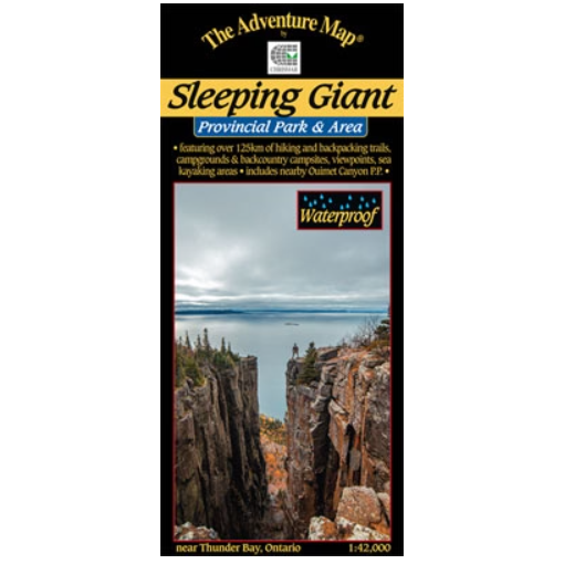
Our#: AM0591, ISBN: 978-0-929140-59-9, Waterproof.
A large, medium-scale (1:42,000) waterproof map of the entirety of Sleeping Giant Provincial Park and surroundings that is perfect for planning your trip, and guiding you on the ground, or waters, of this northwestern Ontario Park just east of Thunder Bay. With over 125km of trails, including to the top of the iconic “Sleeping Giant” set of mesas, there is plenty to discover including a car campground and a number of backcountry tenting sites in 7 separate areas scattered around the Park. Lake Superior, which surrounds the peninsula, also provides plenty of shoreline and numerous islands to explore by canoe or kayak, including some non-operating Provincial Parks (no development), a couple of interesting lighthouses and the famous, amazingly tiny, Silver Islet – once the world’s richest silver mine. We also include sections on Natural and Human History, Backcountry Etiquette, Coastal Paddling, winter activities (there’s superb cross-country skiing here!), Safety tips, a bit about nearby Ouimet Canyon Provincial Park, and some great photographs. Consider this the official map of this great Provincial Park.