The Complete Paddler
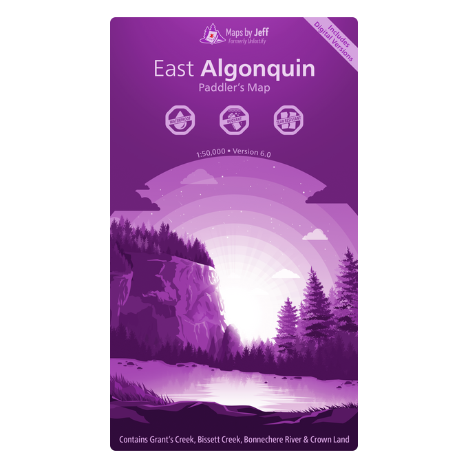
Maps By Jeff East Algonquin Paddlers Map
Maps By Jeff East Algonquin Paddlers Map
Couldn't load pickup availability
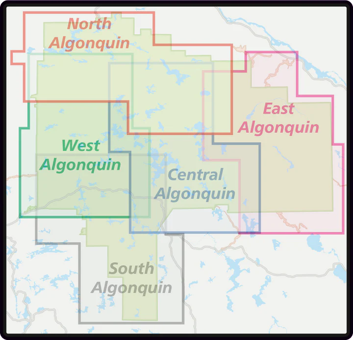
Formerly Unlostify Maps. NEW Algonquin Park Series. North, South, Central, East and West available.
Carefully laid out, with a bit of overlap, so that you’ll only need a single map for most routes. Of course, if you get all 5 of them, then you’ll have an excuse to go on more trips!
Maps By Jeff maps are divided into two sections for each location: a planning map on one side to help you decide where to go, with a whiteboard surface to write and make notes on, and a trip map on the other side, to use once you set off. Literally no pertinent information has been forgotten or overlooked. Canoe routes are marked from beginner to extreme. Portages are displayed with length, slope, and difficulty. Virtually every point of interest (historical, natural, ancient and modern) is marked and described. Activities, starting points and places to re-supply are all located and graded for ease of use. From fresh water springs to poison ivy, everything you want to look out for, at your fingertips.
Waterproof, tear proof. They even float.
There are so many details and so many years worth of wisdom and local knowledge crammed into each map, that comparing routes to each other in length, time, interest and difficulty couldn’t be easier. Tips about not just the land and water, but about weather, prevailing winds, campsites and even helpful booking hints abound. Areas for camping on crown land is pointed out, and areas are colour coded for just how secluded they are. Ultra-bright, easy to read in low light condition markings help you get there, and enjoy yourself instead of searching for that campsite, or the start of a portage. There is so much to learn on each map you’ll spend hours pouring over them, daydreaming about your next chance to get out there to explore, and when you do, you won’t miss a thing, as you navigate the area like an expert.
FEATURES
Waterproof & Digital
When you buy a map, you’ll get six different formats:
1) a printed waterproof & tear resistant copy
2) an Avenza Maps compatible file (for iOS/Android)
3) a Garmin ‘Custom Map’ file, compatible with most modern GPS’s (except the inReach series)
4) a Google Earth file
5) a high-resolution JPEG – great for making enlargements
6) a GeoTIFF, compatible with most mapping software
Bonus: If you buy all 5 maps, you also get a special set of files that cover the whole park